

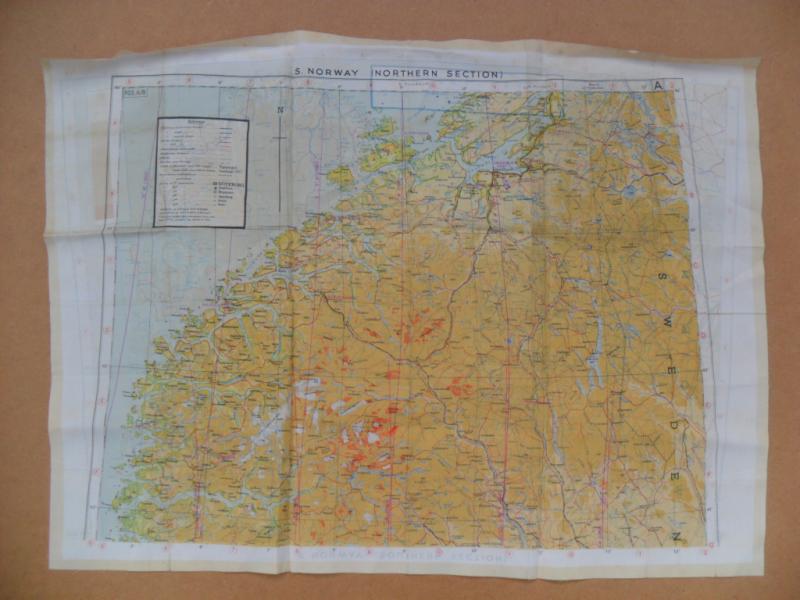
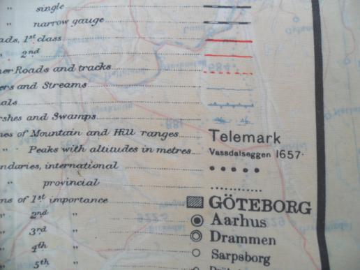
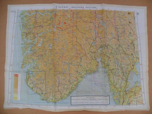
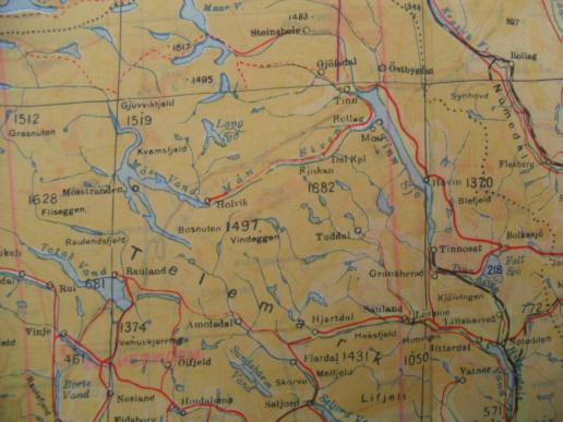
WW2 Silk Escape Map Norway (Telemark)
A good double sided example detailing Northern & Southern Norway which includes the famous mountainous Telemark region.
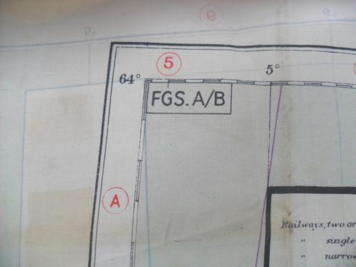
The FGS A/B type map with heat sealed edges was used by US & RAF aircrew and known to have been carried & used by OSS operatives in early 1945 to disrupt German troop/train movement.
22 1/2 inches x 16 1/2
Code: 50519